Why it matters. Wildfires are no longer just a problem for places like California or Australia — this projection shows how a warming climate reshapes fire risk in densely populated East Asia, including near a capital region of over 25 million people.
Background. Gangwon Province's eastern coast (Yeongdong) and North Gyeongsang are Korea's chronic wildfire zones, where dry föhn-type spring winds have fueled some of the country's most destructive blazes, including a massive 2022 Uljin fire. The Korea Meteorological Administration (KMA) is the government weather authority, and SSP1-2.6 and SSP5-8.5 are standard UN-linked climate scenarios representing low- and high-emissions futures.
What to watch next. Expect Korea to weigh expanded firefighting resources and stricter spring fire-prevention rules as the data pushes wildfire risk into populated central regions.
South Korea’s national weather agency warned on June 11 that the risk of spring wildfires could roughly double across the country by the late 21st century if greenhouse gas emissions are not curbed, with danger rising not only in traditional hotspots but also in central regions and the capital area around Seoul.
The Korea Meteorological Administration (KMA) released its assessment of current spring wildfire risk and projections through 2100, based on the government’s standardized national climate-change scenarios. The analysis links those scenarios to the Fire Weather Index (FWI), an international metric that uses maximum temperature, relative humidity, rainfall and wind speed to quantify how quickly a fire can spread and intensify.
Why spring is the danger season
In Korea, spring is overwhelmingly the riskiest time for wildfires. Over the two decades from 2000 to 2019, more than 70 percent of the nation’s wildfires broke out between February and May, when dry, windy conditions peak. The data showed a clear pattern: the higher the Fire Weather Index, the more fires occurred. In periods when the index exceeded the top 5th percentile, the number of fires was more than double that of average periods.
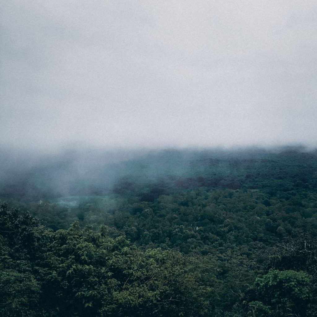
The eastern slopes of Gangwon Province and the North Gyeongsang region, both known for low spring humidity and frequent large blazes, remain the most vulnerable areas.
Emissions choices set the trajectory
The KMA found that future risk hinges directly on how much the world cuts the emissions driving climate change. Under a low-carbon pathway (the SSP1-2.6 scenario, which assumes aggressive cuts and a shift to renewables to reach carbon neutrality), the Fire Weather Index for the late 21st century (2081–2100) rises 29 percent above the current value of 4.35. Under a high-carbon, development-heavy pathway (SSP5-8.5, with no serious mitigation), it climbs 43 percent — a gap that effectively doubles the added risk.
In the high-carbon scenario, the index for Gangwon’s eastern coast and North Gyeongsang exceeds 8, a very high reading. Extreme spikes — readings above the top 5th percentile — would grow up to 2.2 times more frequent under the low-carbon path and up to 2.7 times more frequent under the high-carbon path.
Risk spreads beyond the usual hotspots
Notably, the study projects sharp increases in regions not historically associated with severe wildfires. Gangwon’s index is forecast to jump 59 percent (from 4.11 to 6.52) by the late century, North Chungcheong by 47 percent (4.08 to 6.0), and the Seoul metropolitan area by 46 percent (4.72 to 6.87).
“As temperatures rise due to climate change, the likelihood of extreme Fire Weather Index values appearing in the future is expected to be greater than it is today,” said KMA Administrator Lee Mi-sun. The agency’s scenario-based climate projections are publicly available through its online “Climate Change Atlas” (www.climate.go.kr/atlas).